Old Paisley Canal: The 1810 Disaster, Railway and Station
The Old Paisley Canal: The 1810 Disaster, the railway and the station that survived
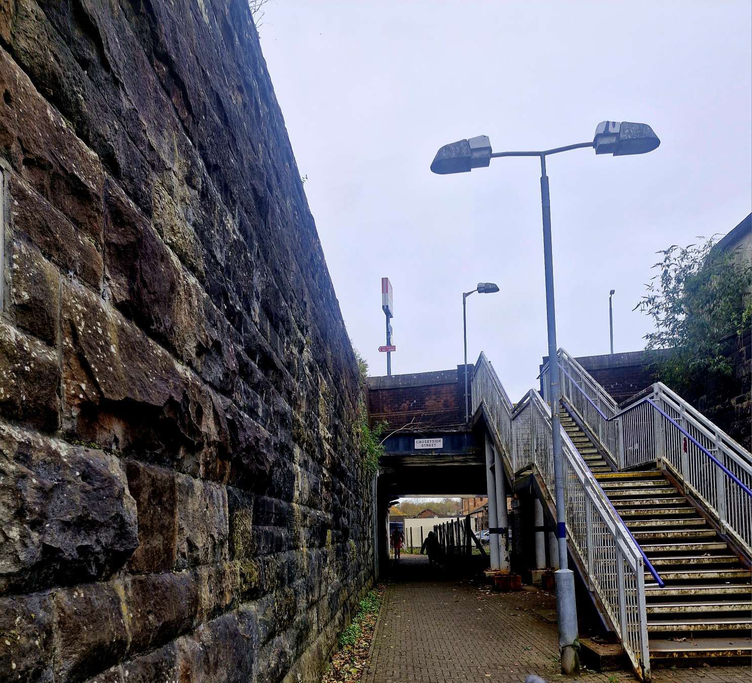
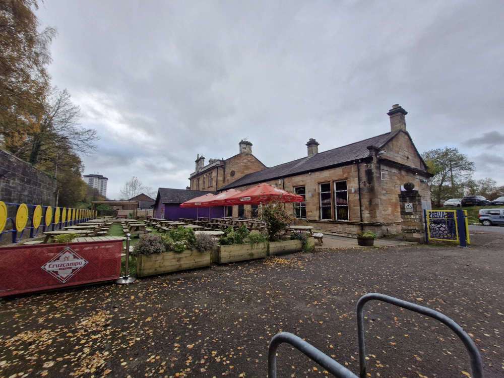
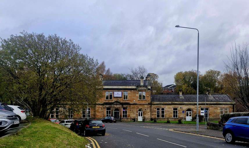
Stand on the Causeyside Street bridge in Paisley and look east and west. To the east, trains from Glasgow Central pull into a single-platform station. To the west, the old Paisley Canal railway station still stands on Stow Brae, where its Victorian stone building now houses Weavers.
Both take their name from a waterway that once carried passengers and freight through Renfrewshire. A short walk away was the basin where more than 80 people drowned in the Paisley Canal Disaster of 1810.
What was the old Paisley Canal?
The old Paisley Canal began as an ambitious plan to connect Glasgow with the Ayrshire coast. The Earl of Eglinton wanted a route for goods to reach his new harbour at Ardrossan, and civil engineer Thomas Telford designed the canal. The first stretch, between Paisley and Johnstone, opened in 1810. The Glasgow section followed in 1811, taking the waterway east to Port Eglinton on the city’s south side.
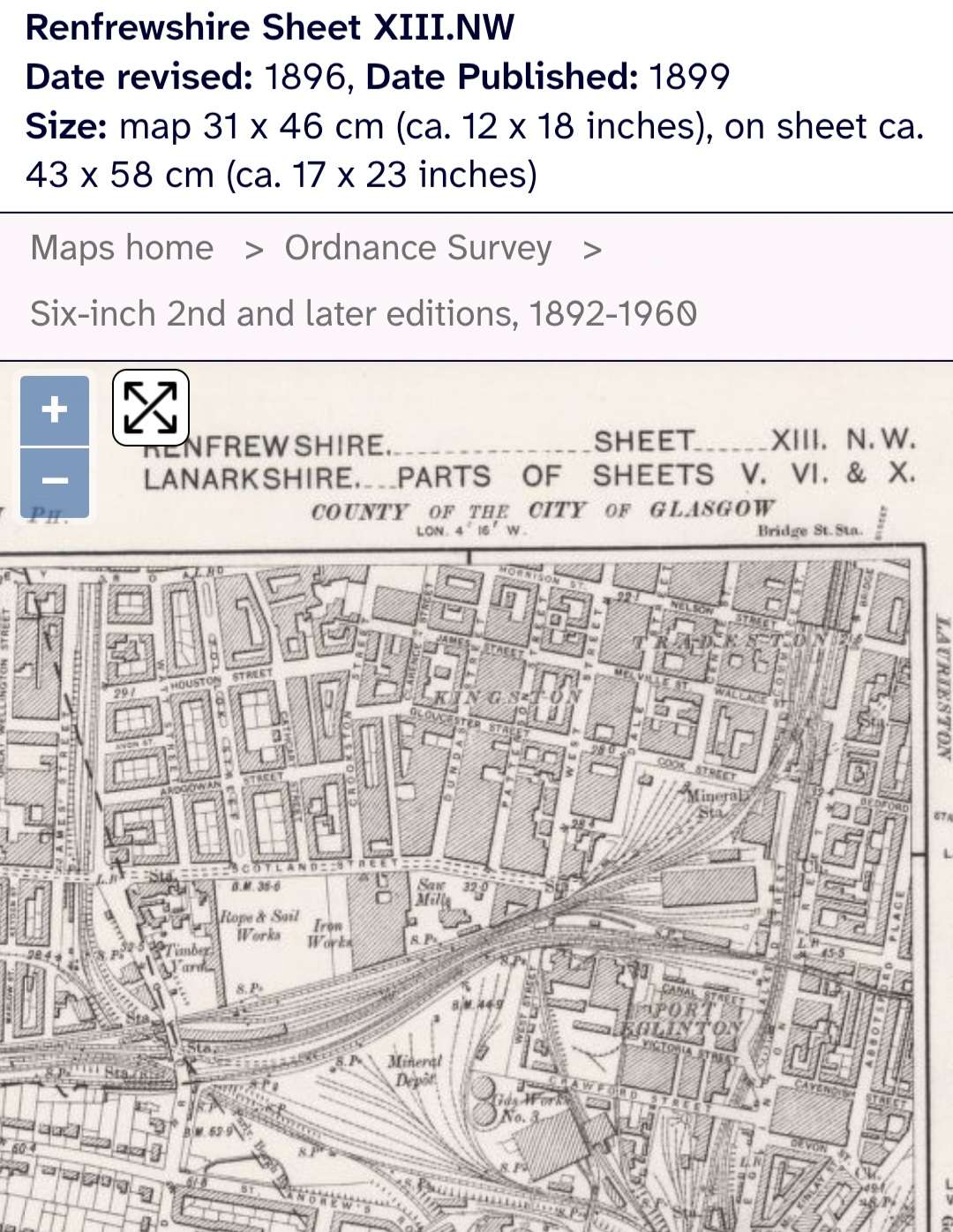
Johnstone remained its western end, which explains why you’ll see it called both the Glasgow, Paisley and Ardrossan Canal and the Glasgow, Paisley and Johnstone Canal.
The Paisley Canal Disaster of 1810
On Saturday 10th November 1810, just days after the Paisley to Johnstone section opened, crowds gathered at Paisley Canal Basin during a holiday. An excursion boat returned from Johnstone, and people waiting for the next trip pressed aboard before those already on the boat could get off. The boat became overcrowded and capsized. Some people were thrown into the basin and others were trapped inside as water rushed into the cabin.
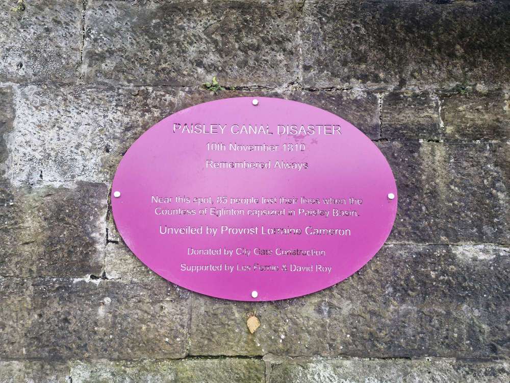
Many of those who died were children and young people. Historical accounts put the death toll at 84 or 85, and the memorial near Paisley Abbey commemorates 85 victims. The boat is named the Countess of Eglinton in some accounts and the Duchess of Eglinton in others.
How the Paisley Canal became a railway line
The Glasgow and South Western Railway bought the canal in 1869. An Act of Parliament authorised its closure in 1881, and the company built a railway along much of the former canal’s course.
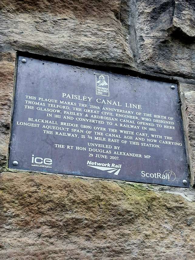
The Paisley Canal Line opened on 1st July 1885, running between Port Eglinton Junction and Elderslie Junction.
The change from waterway to railway is still visible at Blackhall Railway Viaduct. Between Hawkhead and Paisley Canal, trains cross the White Cart Water on a stone arch built under Telford as a canal aqueduct. It was adapted for railway use and is now Category A listed. The water runs beneath the arch today, as it did when canal boats travelled above it.
When did the Paisley Canal railway close and reopen?
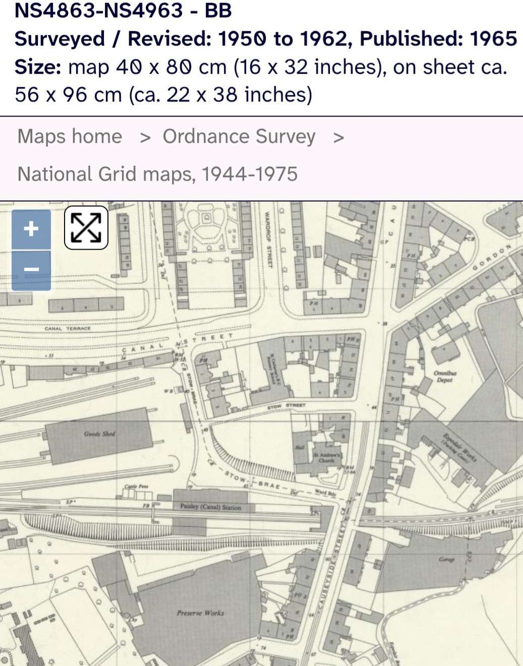
Passenger services on the through route from Glasgow to Kilmacolm ended in January 1983, closing the original Paisley Canal station. Freight continued on parts of the line, including oil traffic to Hawkhead. The tracks through the old station and west towards Elderslie were later lifted.
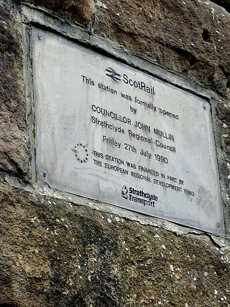
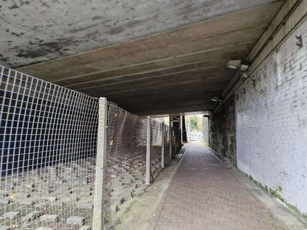
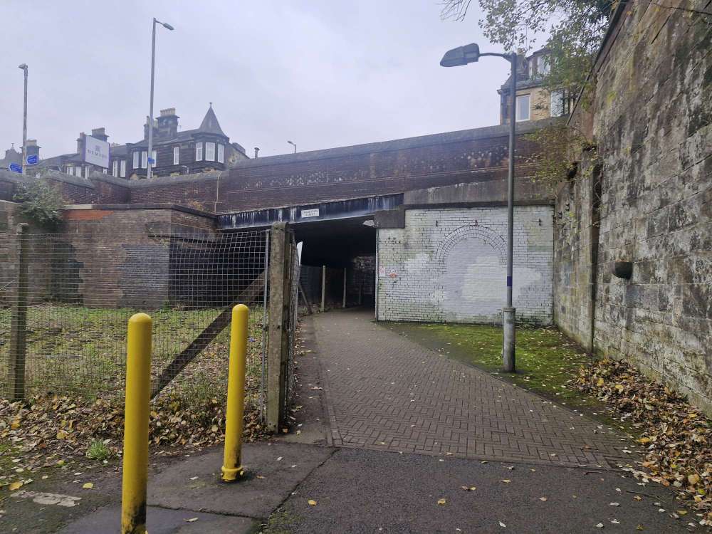
In July 1990, passenger trains returned between Glasgow Central and Paisley. The reopened branch ended at a new single-platform station on the east side of Causeyside Street, just across the bridge from the original. The route to Kilmacolm stayed closed to trains. Diesel trains served the reopened branch until electrification, with a fully electric service in place from 10 December 2012.
The old Paisley Canal railway station still stands
The original station had two canopied platforms, a separate stone waiting room and a booking office facing Causeyside Street. The main two-storey building on the former eastbound platform survives at 1 Stow Brae, Paisley PA1 2HF. It’s now Weavers, a bar and restaurant, so you can stop for a drink or a bite in the building where passengers once waited for trains.
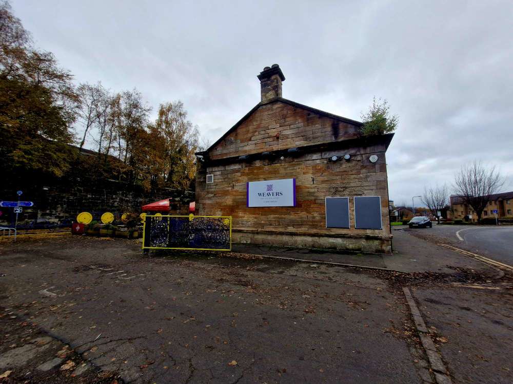
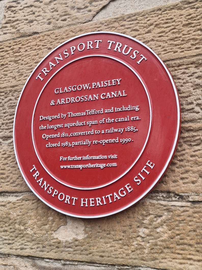
There’s also a National Transport Trust Red Wheel plaque marking the canal and railway history. RailScot’s archive photo of the Stow Brae building.
How to visit the old station and follow the canal route
Take a direct ScotRail train from Glasgow Central to Paisley Canal. Leave the modern station onto Causeyside Street, cross to the west side and head down Stow Brae to see the old station building. The working station’s postcode is PA2 6SZ. For the former station, use PA1 2HF.
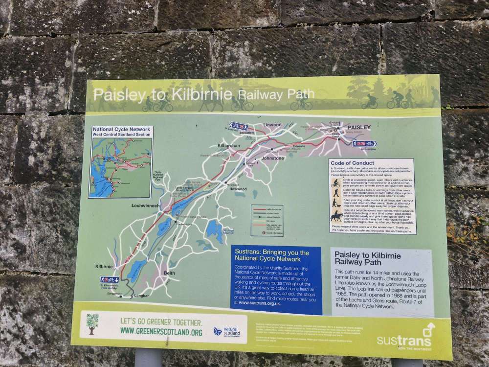
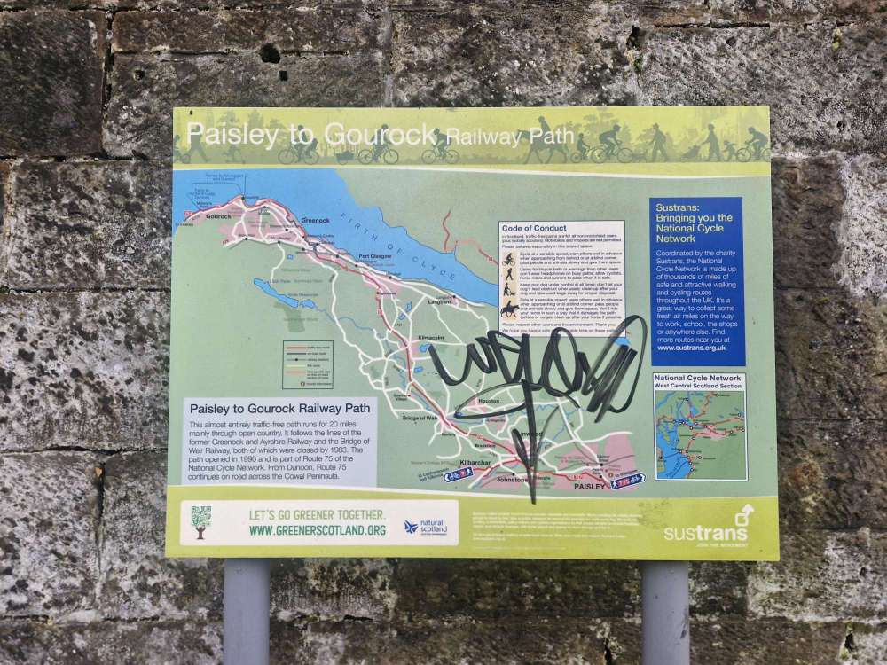
The old canal basin was near Canal Street, where the Castle Gait housing now stands. Look for the disaster memorials near Paisley Canal station and Paisley Abbey. If you want to follow more of the route on foot or by bike, National Cycle Network Route 7 heads west from the station area towards Elderslie and Johnstone. Parts of the path use the former railway trackbed, following a corridor that has carried boats, trains and now bikes.